Surveying Services
Boundary Survey
Purpose: Determines legal property boundaries for ownership, fencing, and real estate transactions.
Research: Gather existing property deeds, records, and maps.
Fieldwork: Use GPS, total stations, and other equipment to measure property lines.
Analysis: Compare measurements with legal descriptions and resolve discrepancies.
Reporting: Create a boundary map showing property limits and key features.
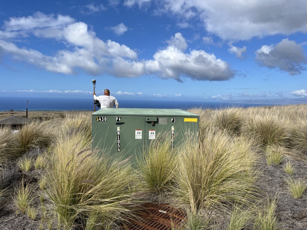
Topographic Survey
Purpose: Maps land elevations, contours, and physical features for engineering, construction, or land development.
Process:Data Collection: Use GPS, drones, and laser scanning to capture terrain details.
Measurement: Identify land features such as hills, valleys, roads, trees, and utilities.
Mapping: Create contour maps to visualize the land’s shape and elevation.

Construction Survey
Purpose: Ensures structures are built in the correct location and alignment as per design plans.
Process:Pre-Construction Layout: Mark reference points for excavation, roads, and buildings.
Monitoring: Verify ongoing construction is within design tolerances.
Final Check: Confirm that completed structures meet specifications.

Hydrographic Survey
Purpose: Measures water bodies, including depths, tides, and underwater features for navigation, construction, and environmental studies.
Process:Sonar and GPS Mapping: Use sonar equipment and GPS to measure water depths and bed formations.
Data Processing: Analyze underwater features and currents.
Charting: Produce nautical or environmental maps.

Hawaii Surveying
1888 Kalakaua Avenue Suite C312
Honolulu, HI 96815 USA
Phone: +1-808-294-5866