Honolulu – Kauai – Maui – Hawaii

Hawaii Surveying

A Division of GPS RTK Hawaii, LLC

Phone: 808-761-5687

Boundary

Our Boundary Surveyor is a licensed professional responsible for identifying and defining property lines, land ownership, and legal boundaries. They ensure accurate land divisions for real estate transactions, construction projects, and legal disputes.

Topographic

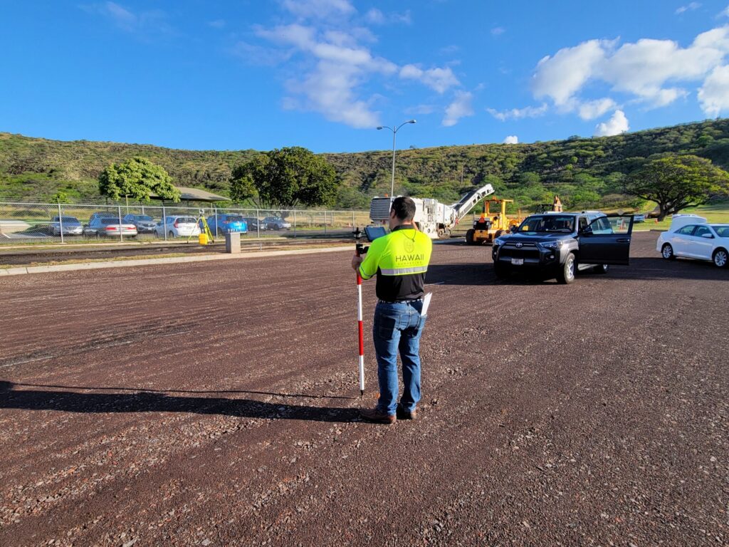
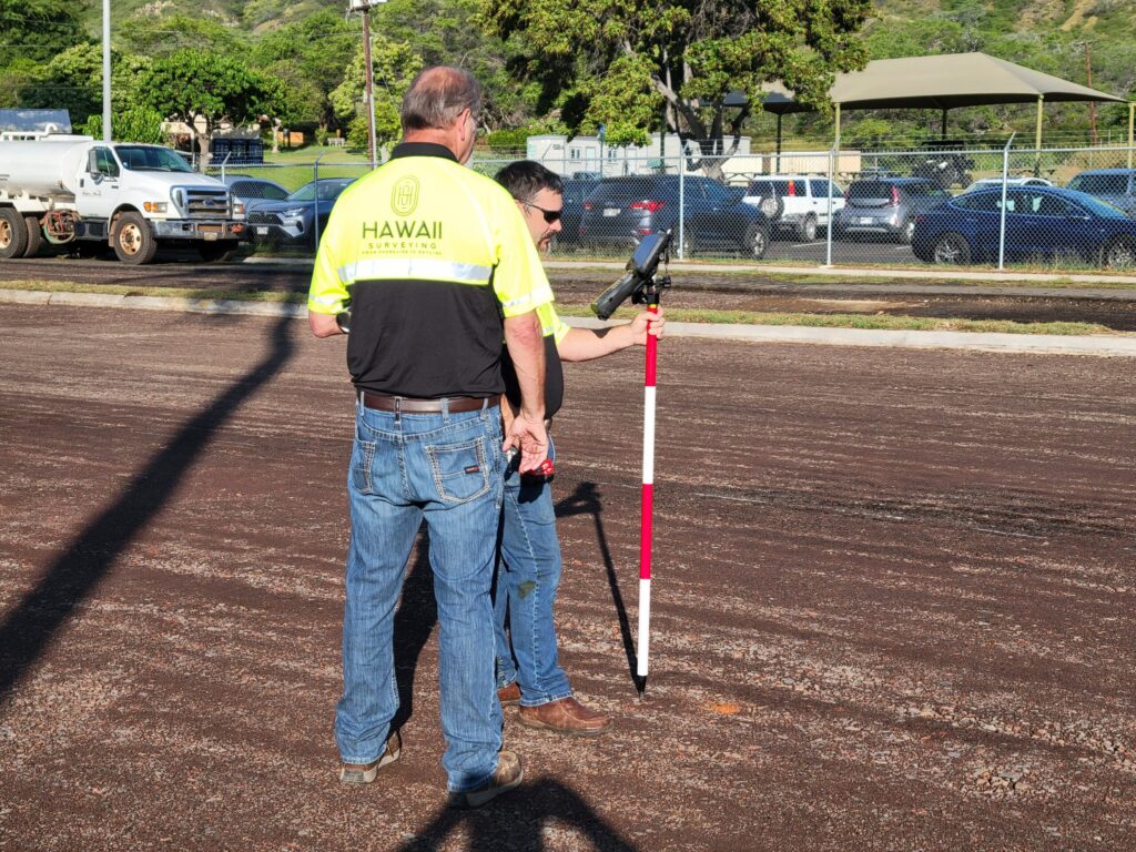
Our Topographic Surveyor is a professional responsible for measuring and mapping the natural and man-made features of a land area, including elevation changes, vegetation, buildings, roads, and utilities. Topographic surveys are essential for engineering, construction, land development, and environmental planning projects.

Geospatial

Our Geospatial Surveyor is a professional who collects, analyzes, and interprets geographic data to map and model the Earth’s surface and built environment. They use advanced technology such as satellites, GPS, LiDAR, drones, and GIS (Geographic Information Systems) to provide accurate spatial data for various industries.

All Hawaiian Islands

Service Guarantee


At Hawaii Surveying we are committed to providing accurate, reliable, and professional land surveying services. Our Service Guarantee ensures that our clients receive high-quality results with confidence and peace of mind.

1. Accuracy & Precision

2. Compliance with Regulations

3. On-Time Delivery

4. Professional & Transparent Communication

5. Customer Satisfaction Commitment

6. Warranty on Survey Results

Hydrographic

Measures water bodies, including depths, tides, and underwater features for navigation, construction, and environmental studies.
Construction

Ensures structures are built in the correct location and alignment as per design plans or layout.
Subdivisions

Divides a large parcel into smaller lots for development.

Service With Aloha..
Value

Hawaii Surveying plays a crucial role in various industries by providing accurate and reliable spatial data. It serves as the foundation for land ownership, construction, infrastructure development, environmental protection, and disaster management.

Service

Using a professional surveying service provides numerous benefits for individuals, businesses, and governments. Surveyors bring specialized knowledge and technology to ensure accurate, reliable, and legally compliant data for a variety of projects.

Accuracy

Our accuracy of surveying depends on several factors, including the quality of equipment, the skill of the surveyor, the methods used, and the environmental conditions. Professional surveyors rely on a combination of technology, precise measurement techniques, and knowledge of standards to ensure that the data collected is reliable and accurate.


Your satisfaction is our top priority!

Our Commitment.. At Hawaii Surveying, we take pride in delivering precise, dependable, and high-quality land surveying services.

Scroll to Top